
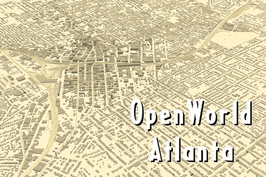
OpenWorld Atlanta (Atlanta, Georgia)
OpenWorld Atlanta seeks to provide engaging 3D and dynamic interfaces to the wealth of data extracted by the Emory Center for Digital Scholarship from historic maps and city directories from post-Civil War Atlanta to 1940. During this reconstruction and post-reconstruction period Atlanta went through many changes and experienced rapid growth due to the influences of new economic investments and the development of heavy rail and the electric streetcar which by the 1940s made way for the commuter automobile which transformed Atlanta into the sprawling landscape it is today. The project utilizes geodatabases of historical geographic features that are appended with information acquired from historical geocoders to create data rich and engaging interfaces for community and educational exploration.
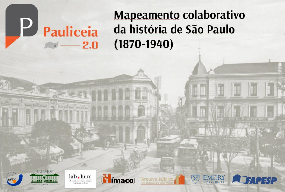
Paulicéia 2.0 (São Paulo, Brazil)
Pauliceia 2.0 is a platform to make the collaborative mapping of history of the city of São Paulo for the period 1870 to 1940. By means of the platform, researchers can share their spatial data sets in the platform, enriching a historical cartographic database of the city and making their data available to other researchers in the process. The project is a partnership between INPE (National Institute for Space Research), UNIFESP (Guarulhos and São José dos Campos Units) and the State Archive of São Paulo and Emory University (United States) and is financed by the Foundation for Research Support of the State of São Paulo. A beta is currently available for testing here: http://www.pauliceia.dpi.inpe.br/portal/explore. The final version is scheduled for release in January 2021.
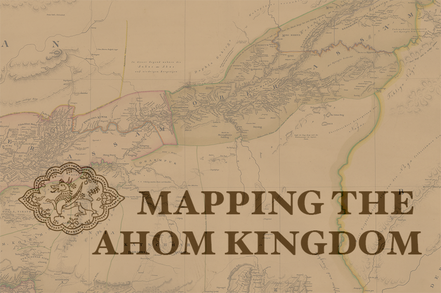
Mapping the Ahom Kingdom (Assam, India)
To better understand the history and legacy of the Ahom Kingdom, which existed between 1228 and 1826 A.D. in present-day Assam, India, Kaziranga University’s Center for Virtual Reality has partnered with Emory’s Center for Digital Scholarship to develop a spatial historical map of the ancient kingdom. Historical data about the kingdom about the will be validated and aligned with topological map of the target area.